railway

CN

Belle Isle 河州公园

Belle Isle 的河岸风光,远处同时有火车通过。

Belle Isle是位于James River下游浅河床上的一个无人岛。在美国内战期间岛上有人居住,并建立了一座战争监狱和一个村庄。在随后的20世纪,这里被用作一个水力发电站场地,直到1963年水电站被废弃。如今,作为一个州政府拥有的地块,Belle Isle成为了一个城市公园。这里拥有优美的风景,清爽的空气,还有各种野生动物以及它们的自然居住场所。公园最引人注目的地方在于,这一切景观离里士满市中心地区仅有数分钟的距离。Belle Isle可以通过一座位于Robert E. Lee大桥下面的悬索桥进入,步行或骑车均可。如果James River(詹姆斯河)的水位不是太高,Belle Isle也可以由河的南岸进入,通过跳石头的方式。在Belle Isle上,人们可以欣赏到Browns Island(布朗岛),Forest Hill(森林山)公园,旧Tredegar铁器厂,以及里士满城市的天际线。Belle Isle有数条徒步或骑车路径,在路径之上,还有很多旧建筑和铁路的遗址可供观赏和体验。

游客通过悬索桥进入Belle Isle。

游客通过悬索桥进入Belle Isle。

水电站旧址。

因为Belle Isle有足够的植被,同时免受频繁的人类活动的干扰,岛上有不少野生动物。这是一个不寻常的城市中心之景。各种鸣鸟,水鸭,鸬鹚和蓝鹭都比较常见,同时,松鼠等小型哺乳动物,以及一些两栖及爬行动物也在岛上居住。Belle Isle是一个周末休闲及户外活动的安全好去处。大人和小朋友都喜欢的热门活动包括路径徒步,在James River上游泳,跳石头,晒太阳,观鸟,划独木舟和小船,以及在石头上野餐 — 同时近距离欣赏数米外的急流。

连接Belle Isle和詹姆斯河的石头河床。

里士满,新旧交融之地。

里士满,新旧交融之地。

Belle Isle入口风光。

Belle Isle同时靠近另一个开放的草地公园—布朗岛(Browns Island)。在布朗岛上人们可以观看城市的工业结构,在James River河床亲水,参观历史场所(旧Tredegar铁器厂,如今弗吉尼亚内战纪念中心),参加徒步路径,以及音乐会等。一年一度的里士满乡村音乐节在此举行。风景优美的T. Tyler Potterfield步行桥连接着布朗岛和James River的南岸。这条步行桥平行着内战期间的Mayo桥的遗址。在水位不是太高的情况下,James River的南岸也可以到达Belle Isle,把两座岛屿和河岸连在一起。这两座岛屿,以及桥梁和历史遗址,共同组成了一个休闲娱乐教育场所。它们是是James River公园系统的一部分,并且是里士满城市的皇冠。

布朗岛风光:

时间:
全年开放。
8:30 am – 9:30 pm (夏季)
8:30 am – 5:30 pm (冬季)

布朗岛地址(可以在此通过悬索桥进入Belle Isle):
S 7th St, Richmond, VA 23219

网站:
Bells Isle: http://www.jamesriverpark.org/visit-the-park/getting-there.php
Browns Island: http://www.brownsisland.com/


CN

Shockoe Bottom城市社区

从Church Hill观望的里士满城市天际线,近处为Shockoe Bottom, 远处为市中心。

从Church Hill观望的里士满城市天际线,近处为Shockoe Bottom, 远处为市中心。

Shockoe Bottom是里士满市区内历史最悠久的区域之一,这里的街区肌理仍然在很大程度上保留了陆军上校William Mayo在1737年作的里士满城市规划。Shockoe Bottom在里士满市中心和Church Hill(直译“教堂山”)之间,沿着James River(詹姆斯河)分布。它是一个长条型的城市社区,并且是如今市区内一个富有活力的居住,餐饮和夜生活娱乐中心。

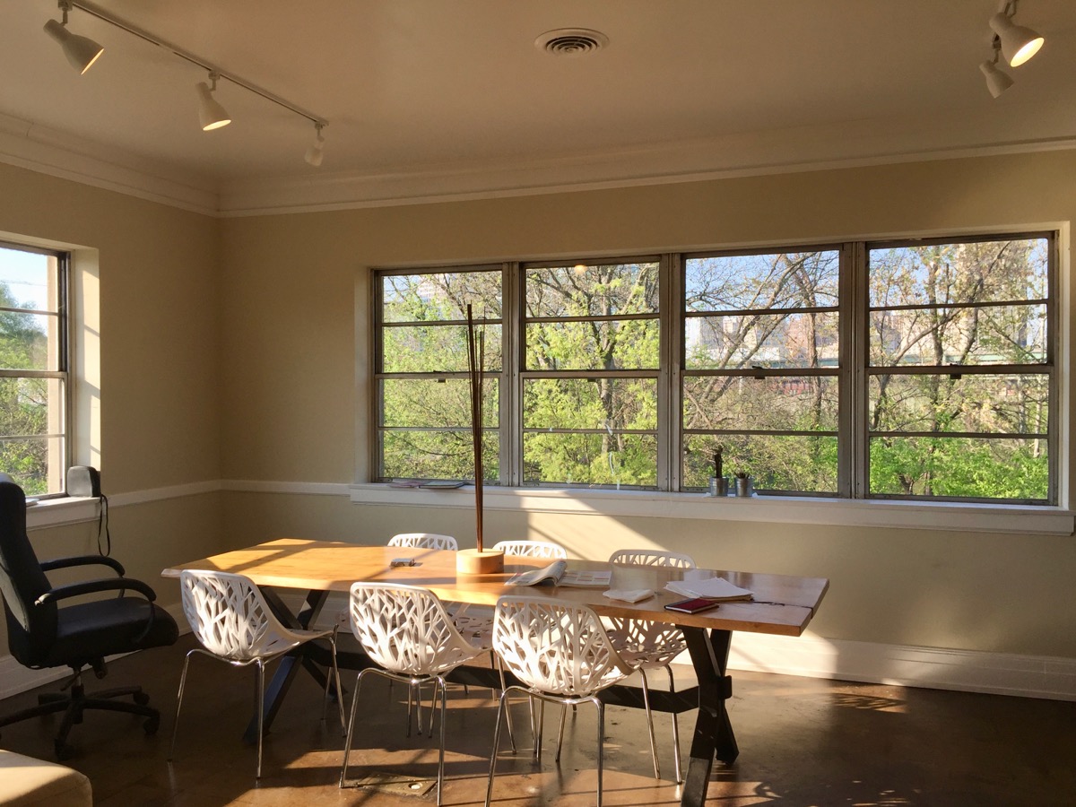
Shockoe Bottom区域内的一个loft工作室/住宅混合体的室内景。

Shockoe Bottom区域内的一个loft工作室/住宅混合体的室内景。

在历史上,Shockoe Bottom是里士满的交通,经济和工业枢纽。随着弗吉尼亚州的州府搬迁至里士满,这一区域在18世纪末期开始发展。很快,这里就变成了一个繁忙的城市交汇之处,融合了来自铁路,运河,城市和旧Mayo马车桥的交通。值得一提的是,旧Mayo马车桥如今仍有桥墩留存。这些桥墩就在现今的14街跨河大桥之下,并且可以在布朗岛(Browns Island)步行桥上观看。18到19世纪的Shockoe Bottom是里士满的烟草业中心,同时这里也在美国历史上的奴隶交易里扮演了重要地位,直到内战结速为止。奴隶贸易带来的利润催生了美国南部的富裕白人阶层,并推动了里士满的经济。在战前,市内的15街被誉为南方的华尔街。


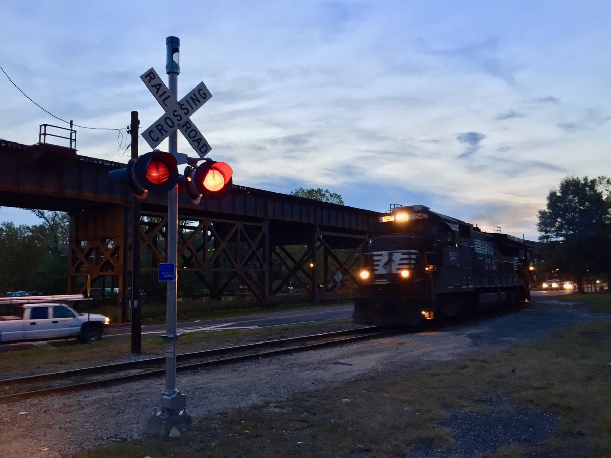
和 ShockoeBottom沿河条带并排的铁路桥。

和 ShockoeBottom沿河条带并排的铁路桥。

在Main Street火车站旁边的公路/铁路混合立交桥。

在Main Street火车站旁边的公路/铁路混合立交桥。

然而,在1865年4月,里士满被北方联军收复的前夜,原来的Shockoe Bottom区域被彻底摧毁了。撤退的南方邦联军点燃了这里的烟草仓库,大火从Shockoe Bottom开始蔓延,最终烧毁了当年25%的里士满城区。Shockoe Bottom在战后被迅速重建,建成了大部分保存至今的历史城区。战后的Shockoe Bottom仍然是里士满乃至美国南部的烟草业及交通中心,同时附近的美国联邦政府机构也为这里的商业带来了多样性。在建筑学上说,战后重建的建筑大多数属于英式意大利风格和维多利亚风格的商业变种,进入20世纪初,这里也加入了装饰艺术风格的建筑。Shockoe Bottom的烟草业最终在1960年前后被废弃,社区一度萧条。它的重新激活则发生在1980年之后,由数个艺术馆牵头,包括如今的1708艺术馆和Artspace艺术中心。


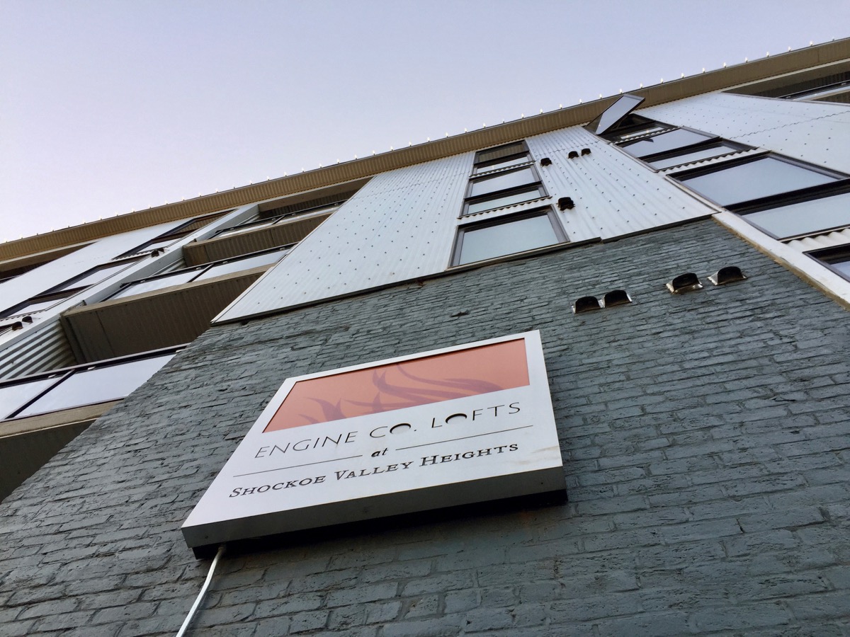
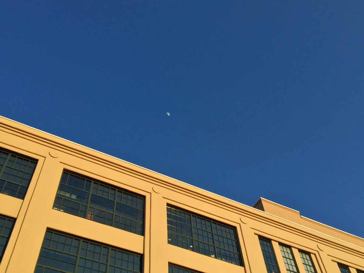
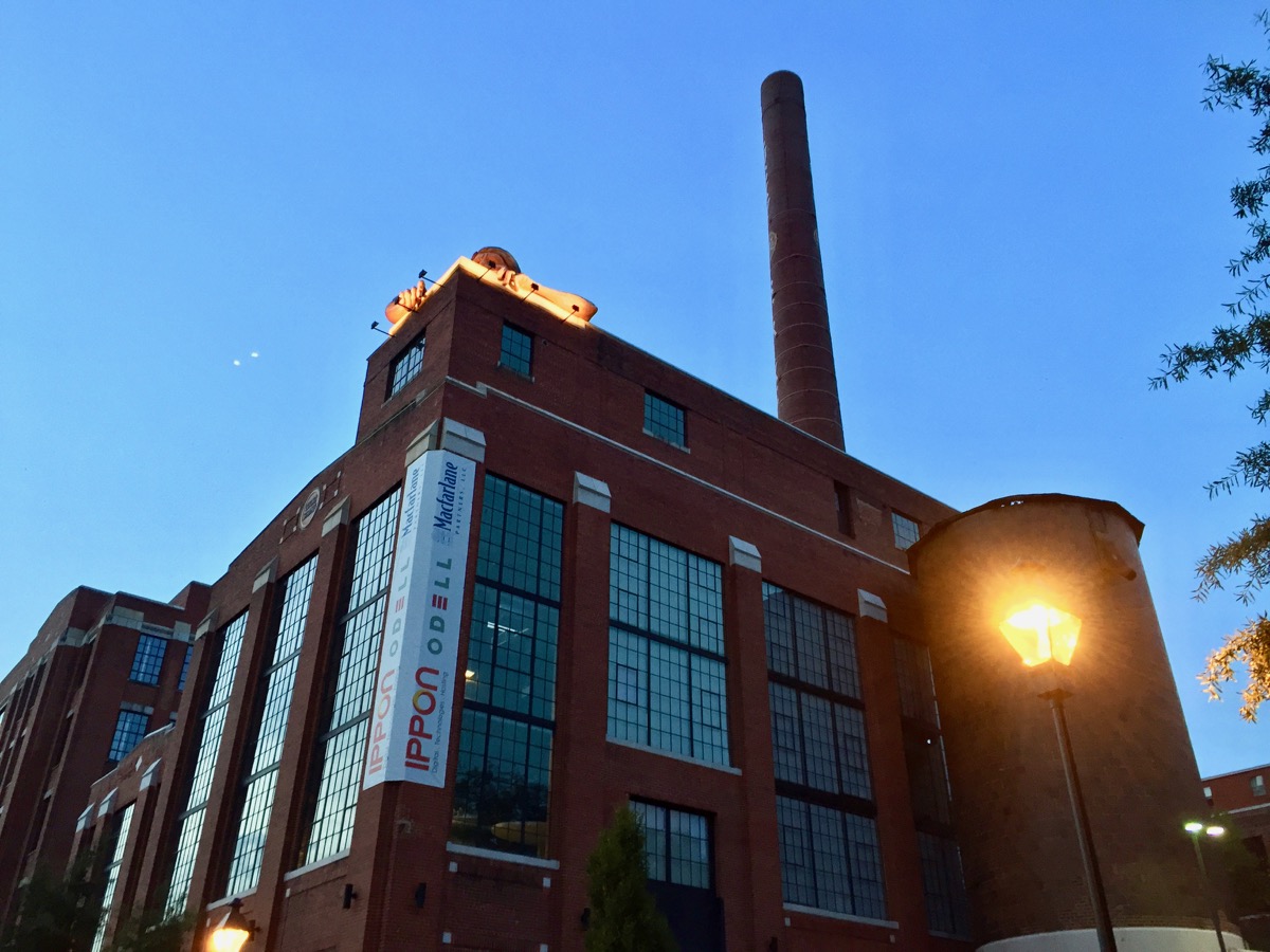
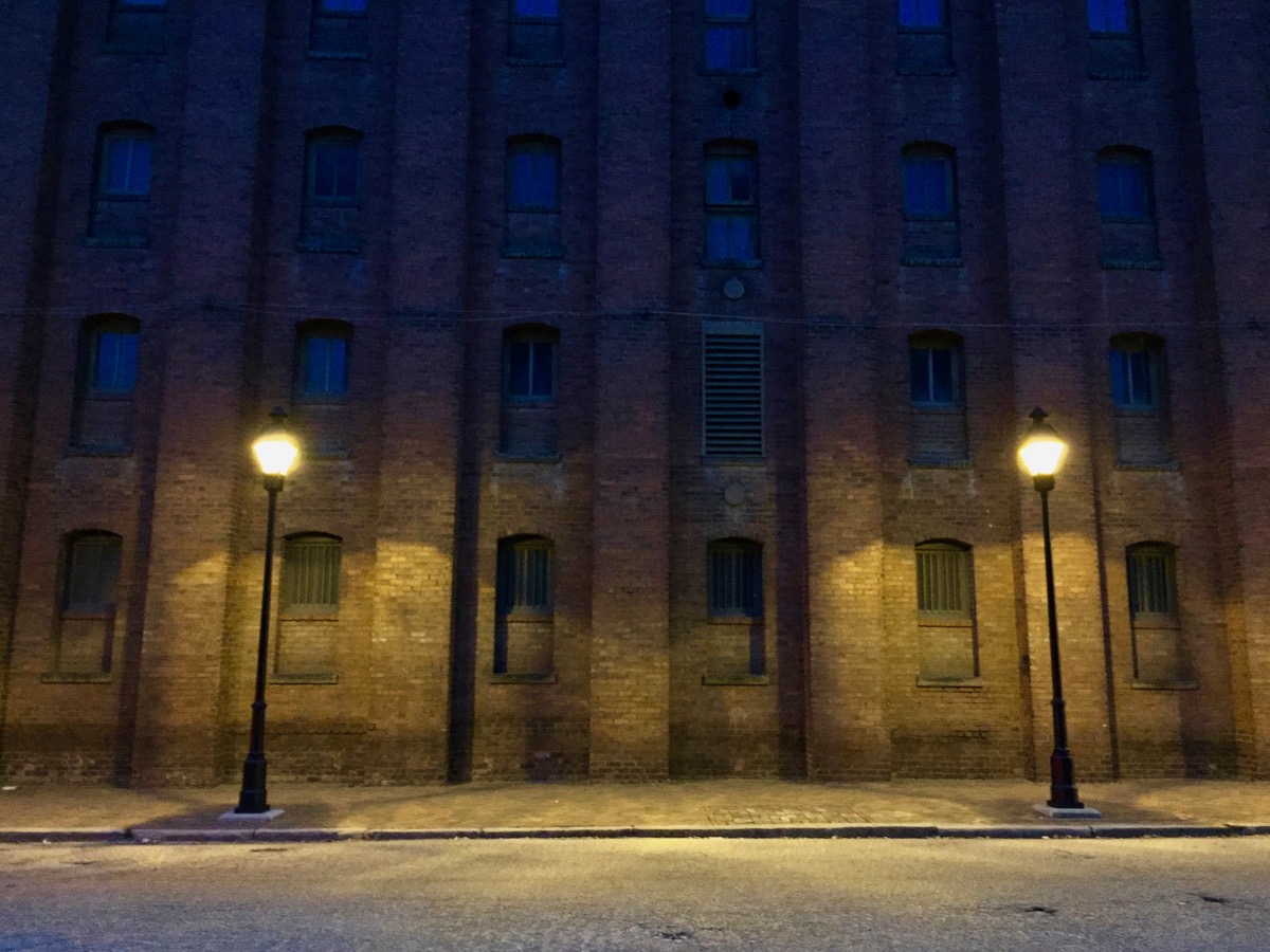
许多历史上的烟草仓库,包括不少拥有装饰艺术风格的个体,如今被改建成为了loft住宅。

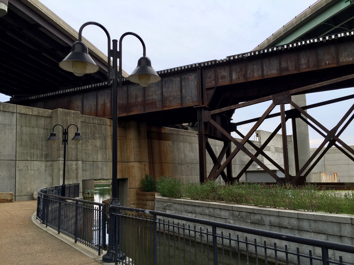
如今,Shockoe Bottom的建筑主要用于饭店,零售商业,办公和居住的用途。近年来区内还增设了一个农贸市场。该区域仍然是里士满的休闲艺术区的一部分,它离现在的艺术中心Plant Zero很近,并且也拥有自己的阁楼式公寓(loft)和工作室式住宅(home studio)。一些旧的闲置烟草仓库仍然屹立在区域内,告诉着过往人流该地乃至整个里士满的多层历史印记。Shockoe Bottom如今有很多酒店式公寓,让其成为了一个便利而设施良好的城市居住区。这里也有不少出名的高品质餐馆,包括拥有河岸餐厅和酒吧的Boathouse at Rocketts Landing。其他出名餐馆包括Havana ‘59,Bottoms Up Pizza,River City Diner,Station 2,和Millie’s Diner等。Shockoe Bottom区域内的公共社区是一个运河公园。在这里,人们可以近距离参观城市的工业结构,尤其是那个火车站附近的著名的Shockoe Bottom五层立交桥 — 三条铁路和两条高速在此层叠,延伸到巨大的防洪墙的内外。新建筑和老建筑,殖民地风格和工业风格,大体量结构和小型空间,这些不同建筑风格的融合打造出Shockoe Bottom独特的空间美感。Shockoe Bottom同时也离Church Hill很近,在那里,人们可以观赏到整个里士满天际线的风光,包括了山上的一个微型自由女神像。

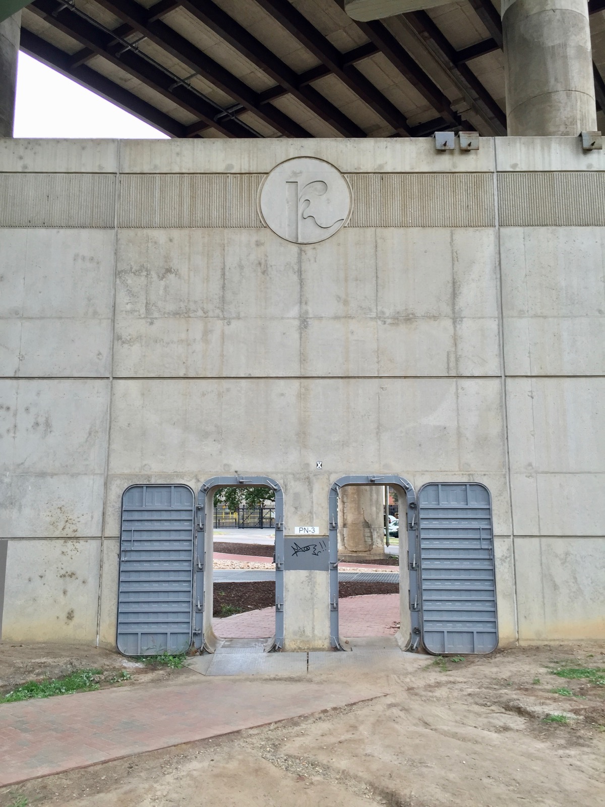
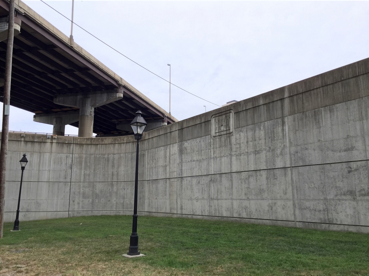
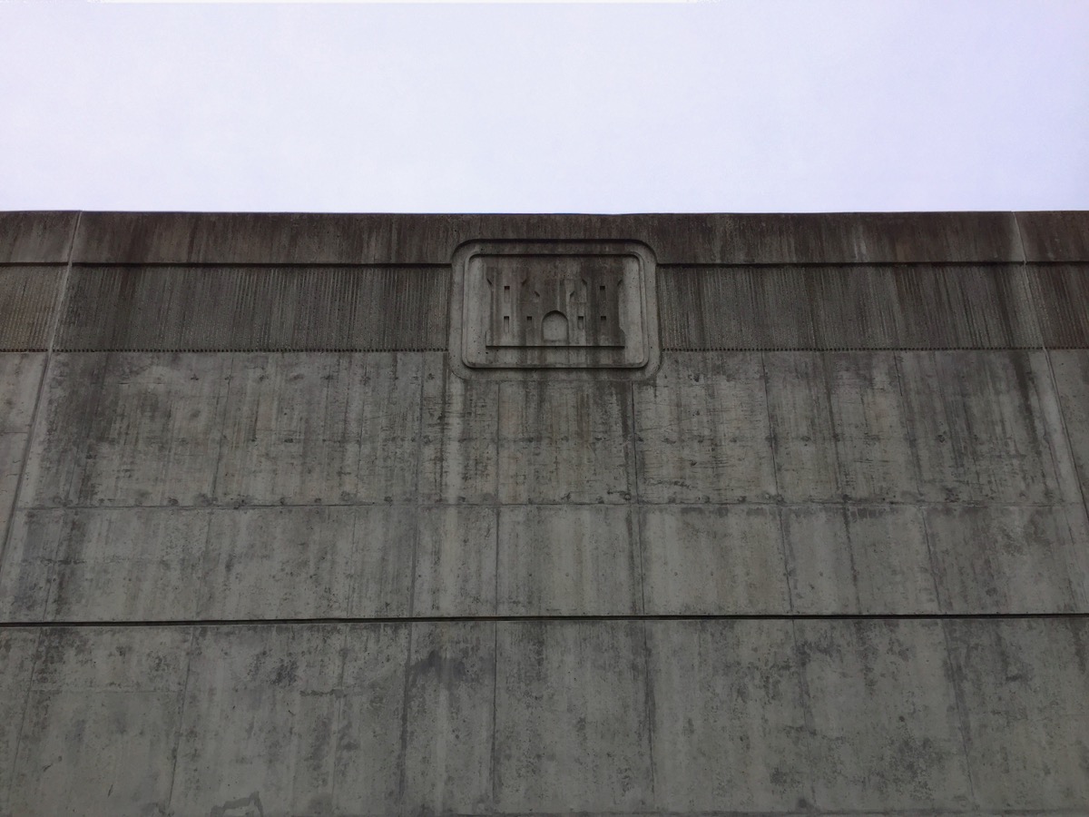
巨大的城市防洪墙,保护了Shockoe Bottom盘地和里士满市区不受詹姆斯河的周期性洪水的侵袭。


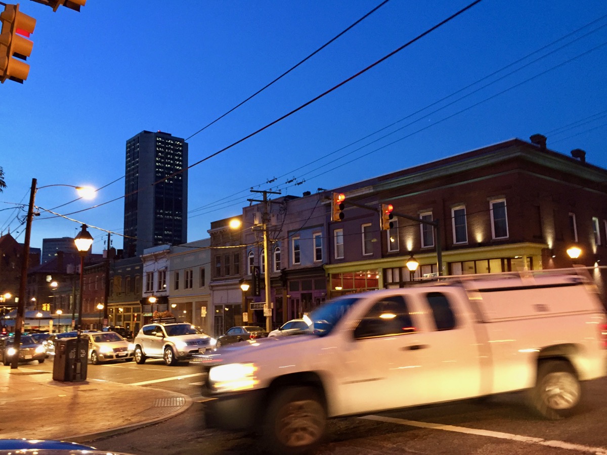
街区及餐馆照片


ENG

Shockoe Bottom

View of Shockoe Bottom and downtown Richmond from Church Hill.

View of Shockoe Bottom and downtown Richmond from Church Hill.

Shockoe Bottom is one of Richmond city’s oldest neighborhoods, as the street blocks and zonings remains largely identical to Colonel William Mayo's initial city plan of Richmond in 1737 . Shockoe Bottom locates between downtown Richmond and Church Hill, along the James River, creating a long slip riverside neighborhood. Today, the area is a bustling hub for city living, cuisine and nightlife.

A loft in Shockoe Bottom.

A loft in Shockoe Bottom.

Historically, Shockoe Bottom was a main transportation hub for Richmond city. The traffics, combining with the location, have established the area as the city's industrial and commercial center. Shockoe Bottom began developing in the late 18th century following the move of the state capital to Richmond. Soon the neighborhood became the busy intersection of railways, river and canal traffics, and city roads, including the old Mayo’s bridge. This wagon and pedestrian bridge was a key feature contributing to the neighborhood's thriving. And today, its remaining piers are still sitting next to the modern 14 Street bridge, which can be observed from Browns Island city park. Shockoe bottom was the center of Richmond’s and southern America's tobacco industry, It also played a major role in slavery in the United States before the end of the Civil War. Profits from the slave trades fueled the creation of wealth for Southern whites and drove the economy in Richmond, leading 15th Street to be known as "Wall Street of the South" before the war.


Railway alongside the Shockoe slip.

Railway alongside the Shockoe slip.

The mixed intersection of highways and railways near Main Street Train Station.

The mixed intersection of highways and railways near Main Street Train Station.

However, the original Shockoe Bottom was completely destroyed on the eve of the fall of Richmond to the Union Army in April 1865. The evacuating Confederate forces set fire to the tobacco warehouses. The fire spread from Shockoe Bottom, eventually destroyed 25% of the whole Richmond city. Shockoe Bottom was quickly rebuilt after the war, forming much of its present historic building stock. It was still the center of tobacco industry and railway intersections, while its proximity to many downtown federal government buildings also added diversity to the business. Architecturally, many of the buildings constructed during the rebuilding period are a commercial variant of the Italianate style. Coming to 19th and early 20th century, Art Deco and Victorian style buildings were added. The tobacco industry was eventually abandoned in the 1960s, followed by the decades-long decline of this ares. Shockoe Bottom was revitalization in the 1980s, lead by the stationing of several art galleries—incluidng what would be today’s 1708 Gallery and Artspace.  


Many historical tobacco warehouses and Art Deco style buildings are converted to lofts.

Today, the buildings in Shockoe Bottom are primarily restaurants, shops, offices, and apartments. A farmer’s market was also built in recent years. Shockoe Bottom is still part of the city’s recreational and creative area, being closed to Plant Zero—the current art center near downtown across James River. Some old unused tobacco warehouse still remains, reminding the passenger’s about the area’s and Richmond city’s history. Shockoe Bottom now has many high-end lofts, studios, and serviced apartments, making it a convenient and well-developed spot for urban living. This area also hosts several finest restaurants of the city, including the Boathouse at Rocketts Landing—featuring waterfront dinings and bars, as well as Havana ‘59, Bottoms Up Pizza, River City Diner, Station 2, and Millie’s Diner. A canal city park was added in the 1990s after the completion of the city's floor wall. In this highlighted area, people can walk around the old canals and admire the city's industrial and transportation complexes, especially the famous five-deck traffic intersection near the Main Street Train Station, This intersection has three railways and two highways, spreading inside and outside the massive concrete flood walls. The mix between old and new, colonial and industrial, massive and delicate, gives this area a unique architectural aesthetic. Shockoe Bottom is also close to Church Hill, another historical, well-maintained and charming neighbourhood, where one can observe the whole downtown Richmond city alongside with the unique miniature Statue of Liberty.


The floor wall that keeps Shockoe Bottom basin and Richmond downtown safe from Jame River's periodical flooding.


More Images: Shockoe Bottom streets and restaurants


ENG

Belle Isle

Belle Isle river bank with train passing.

Belle Isle is an uninhabited island on the shallow beds of James River. It hosted a village and a prison during the Civil War, and hosted a hydroelectric power plant in the 20th century until 1963. Now, being owned by the state, Belle Isle serves as a scenic city park with wildlife in its natural habitat, as a location only a few minutes away from the heart of downtown Richmond city. The island is open to pedestrian and bicycle traffic via a suspension footbridge that runs under the Robert E. Lee Bridge from the northern shore of the James. Except when the water level of the James River is high, Belle Isle is also reachable by foot from the southern shore via easy boulder-hopping. From Belle Isle, people can observe Browns Island, Hollywood Cemetery, Forest Hill park, the old Tredegar Iron Works, and Richmond City's skyline. Belle Isle has several bike and foot trails around the island, with many old and ruined buildings, among other run-down sites and railways along the trails.

The suspension bridge entrance.

The suspension bridge entrance.

Because Belle Isle contains enough vegetation, without the interference of constant human activities, the island is home to several wildlife, an uncommon presence within the city's borders. Songbirds, ducks, cormorants and blue herons are a common sight. Squirrels, other small mammals, amphibians and reptiles also inhabit the island. Belle Isle is a great place for safe weekend getaways and outdoor adventures. Popular activities of adults and youths alike include walking the trails, swimming in the James River, rock jumping, sunbathing, birdwatching, kayaking and rafting in the James, and boulder-top picnicking only feet away from fierce rapids.

Belle Isle is close to the open, grassy Browns Island as another city park. Browns Island offers industrial structures and waterway views, historical sites (the old Tredegar Iron Works, now Virginia Civil War Center), walking paths, and concerts. The yearly Richmond Folk Music Festival takes places here. The scenic T. Tyler Potterfield Pedestrian Bridge connects Browns Island to the southbank of James River. The pedestrian bridge runs alongside with the remains of the old Mayo bridge from the Civil War era. The southbank of James River also provides connection to Bells Isle when the water level is not high. These two islands, bridges and historical sites function as a recreational and educational complex, as part of the James River Park system, and the crown of Richmond city.

Richmond, old and new.

Richmond, old and new.

Views from Browns Island:

Hours
Open 365 days a year.
8:30 am – 9:30 pm (summer)
8:30 am – 5:30 pm (winter)

Address (Browns Island, access to Belle Isle via suspension bridge)
S 7th St, Richmond, VA 23219

Website
Bells Isle: http://www.jamesriverpark.org/visit-the-park/getting-there.php
Browns Island: http://www.brownsisland.com/